80% of NZ Now Mapped in 3D

Staff Reporter
31 March 2025, 9:44 PM
 New National Dataset to Aid Council Planning
More than 80 percent of New Zealand has now been mapped in 3D, creating a powerful new tool for councils and communities to plan land use, manage hazards, and support growth.
Land Information Minister Chris Penk and Associate Regional Development Minister Mark Patterson say the new dataset, created through the PGF-LiDAR programme, represents the first time LiDAR information has been made available as a single, national dataset.
“For the first time, we can analyse most of the country at once, rather than taking a fragmented region-by-region approach,” Mr Penk said. “This has enormous value for decision-making, planning, and modelling.”
The technology, known as LiDAR (Light Detection and Ranging), was gathered using aircraft equipped with pulsed light scanners, generating high-resolution 3D data accurate to the nearest metre.
Funded in part by a NZD$14.6 million grant from the former Provincial Growth Fund, and supported by 10 regional councils, the project has widespread applications—from modelling flood zones and identifying slip-prone areas, to tracking erosion and infrastructure changes over time.
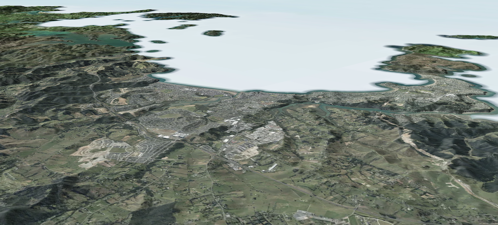
3D view to Orewa using LINZ Data Service.
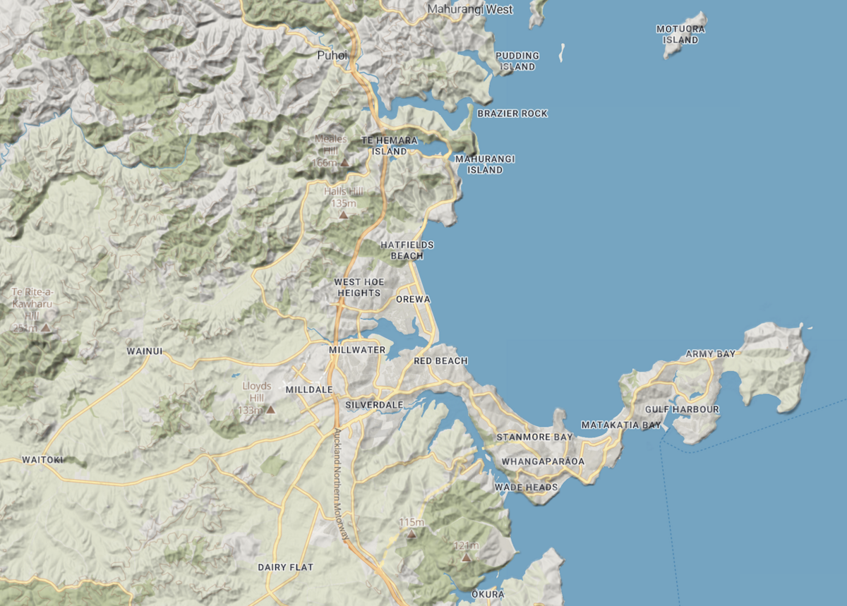
For the Hibiscus Coast, this means local council can now better assess flood risks, manage development, and even monitor environmental impacts like runoff and tree loss.
Councils can also use the data for land use compliance, identifying excessive earthworks, building activity, and unauthorised vegetation removal.
All data is freely accessible through the LINZ Data Service.
Got a local story?
We’d love to hear it! Send your tips to [email protected]
TRADES & PROFESSIONAL SERVICES