Final Week of Summer Brings Classic Kiwi Weather

Staff Reporter
25 February 2025, 6:25 PM
 Sunny skies, warm temperatures, and light winds mark the season’s end.
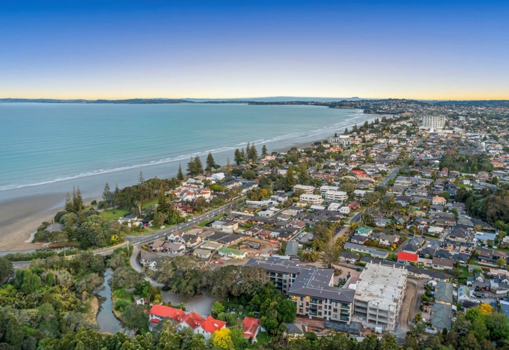
The last week of summer is delivering exactly what Hibiscus Coast locals hope for—warm, settled days, light winds, and mostly clear skies, according to MetService.
A strong high-pressure system is keeping conditions stable across New Zealand, ensuring that summer ends on a high note.
However, Coasties should expect a few showers on Friday and Saturday, though these won’t dampen the overall sunny outlook.
Daytime temperatures will remain between 25°C and 27°C, with mild overnight lows of 17°C to 18°C.
These conditions are mirrored across much of the country, with only the far south expected to see a change later in the week when a rainband moves in.
While the weather remains settled locally, the tropics are seeing a surge in activity.
Two tropical cyclones, Alfred in the Coral Sea and Rae north of Fiji, were named on Sunday evening.
Another system, currently developing between Vanuatu and Fiji, has the potential to form into a third cyclone in the coming days.
Despite this increased activity, MetService assures that none of these systems pose a direct threat to New Zealand at this stage.
MetService’s tropical cyclone forecasters will continue monitoring the situation closely, ensuring that any potential developments are tracked well in advance.
For now, Coasties can make the most of the final week of summer with beach days, barbecues, and outdoor adventures under classic Kiwi summer skies.
Have a story to share from your neighbourhood? We’d love to hear from you!
Send your news tips and stories to [email protected]


TRADES & PROFESSIONAL SERVICES